
Hitland Jigsaw Puzzle
Hitland Jigsaw Puzzle
Couldn't load pickup availability
Share
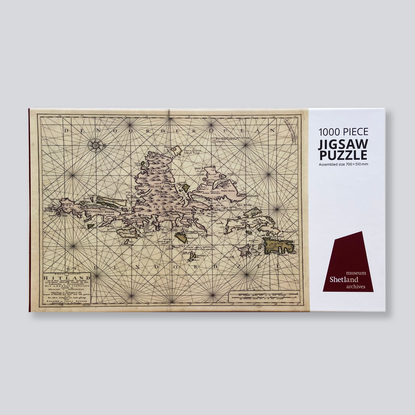
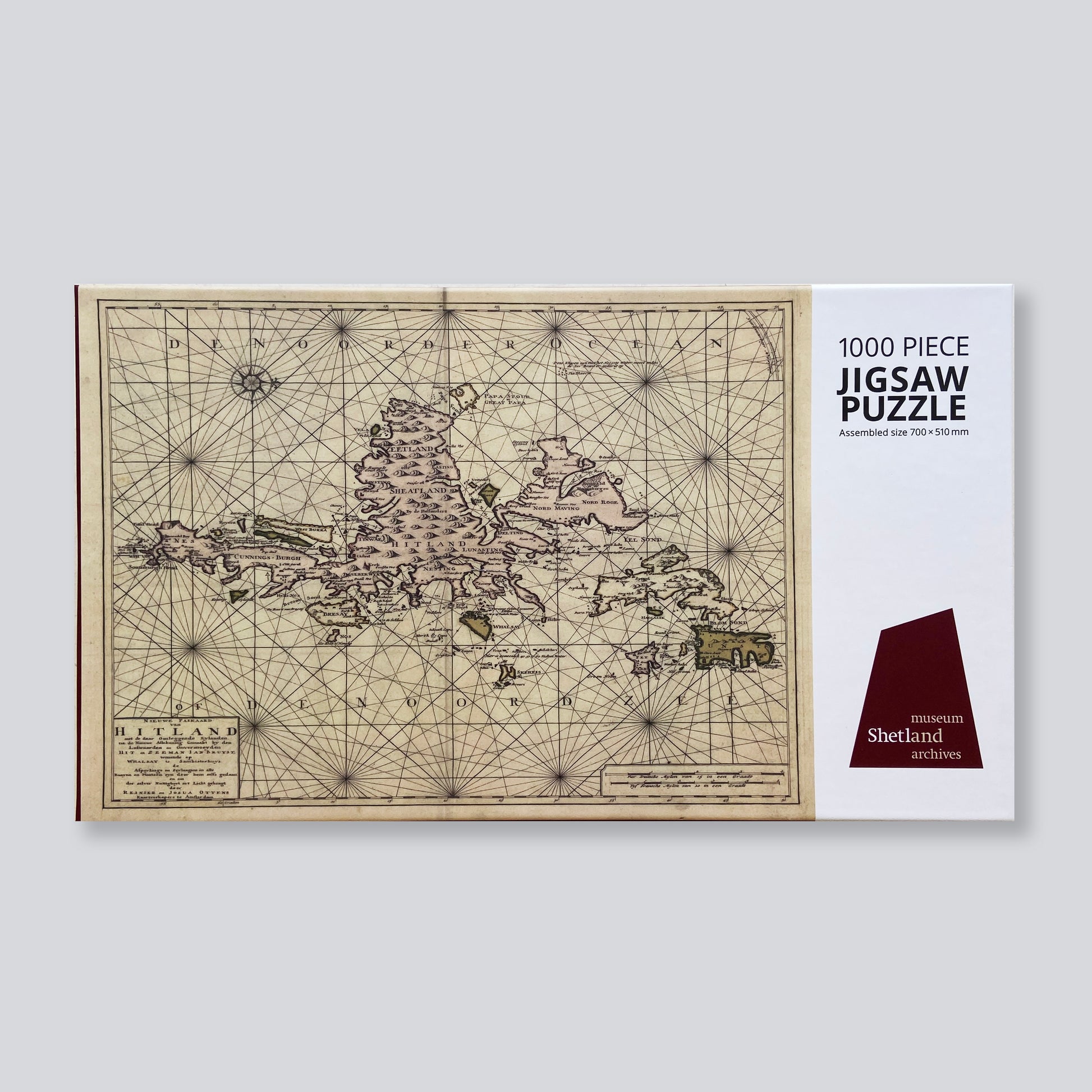
1000 piece jigsaw puzzle featuring Reinier and Josua Ottens’ map of Shetland ‘NIEUWE PASKAARD van HITLAND’, 1745.
A hand-coloured chart of Shetland, orientated with west at the top. At sea, it depicts anchorages and sunken rocks, and, on land, the main settlements and hills. The islands of Foula and Fair Isle are omitted. This map was based on one by John Bruce of Symbister House, Whalsay: an expert navigator and seaman who devoted his time in later life to surveying and charting the coast of Shetland.
In March, 1713, the Dutch East Indiaman Rijnenburg of Amsterdam was wrecked at the Ham of Muness, Unst. Her master, Captain Brouwer, spent some months in Shetland where he met John Bruce and was shown his chart. It impressed him so deeply that on his return to Holland he took the map and laid it before the directors of the Dutch East India Company, who had it printed and issued.
Assembled size: 700 x 510 mm